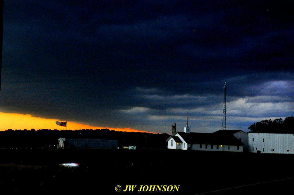
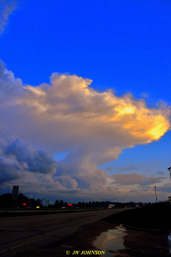
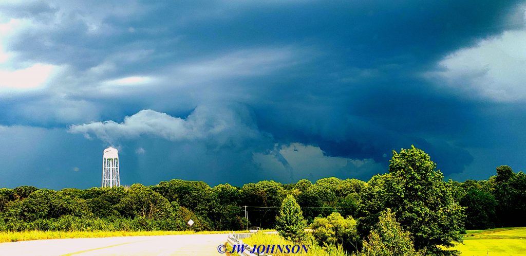
The very next day we had more reports of serious storms moving in our direction, this time from the north and northwest…usually storms that come to us from the north, do not pose much of a threat, but they can still be dramatic and scarey looking to some folks…
…this above photo shows the northwest side of the storm and the photos below shows the northeast and main body of the storm cloud, over Sullivan….
…and the next two photos show again, the northwest side of the storm…note the flags in the first photo, straining south due to the strong winds from the north….I had a few tree limbs down in my yard and street in front of my house, nothing major tho….
and then during the week of July 4th, during the day of our fireworks display in Sullivan, a pop up thunderstorm occurred that nearly ruined our popular display that is always well attended by hundreds of folks and this fireworks fan as well. Afterwards, a huge thunderhead was parked right over the city, and appeared to be parked over the top of the fairgrounds where the fireworks are launched from….
Luckily, the show did go on that evening, although they got a late start due to moisture from the storm earlier in the day, getting into the electrical launching system, that apparently was not detected til the fireworks personnel were preparing to launch the fireworks. It was the latest show I have attended and photographed.
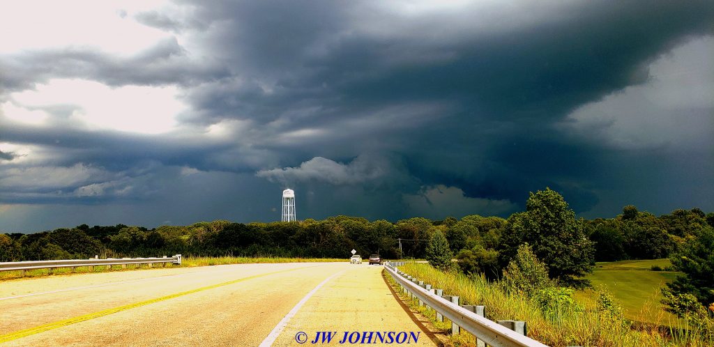
In the first week of August, another storm moved across Sullivan from north to south and actually activated into a serious storm after passing over my city…I photographed it from behind, on the Highway 185 bridge over the BNSF Railroad tracks as it continued to move south into Washington County….
We didn`t get any more really dramatic weather until the fall season rolled in about October….we did receive some hail storms that damaged roofs in our area this fall season as well, keeping roofing crews busy into the new year….
