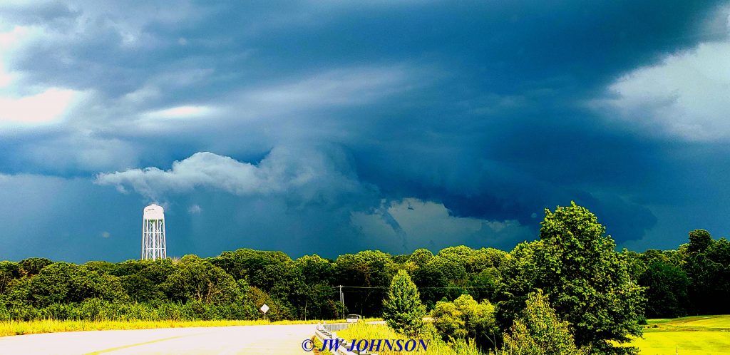
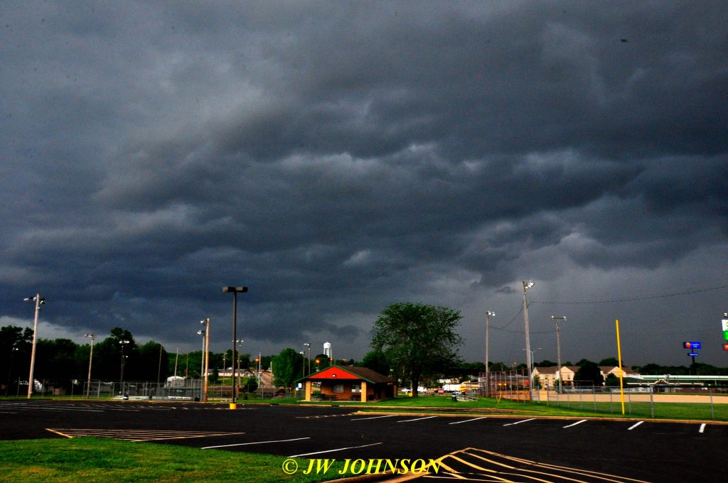
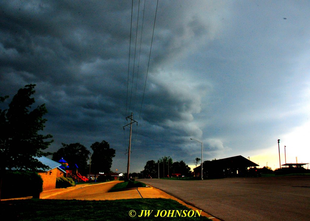
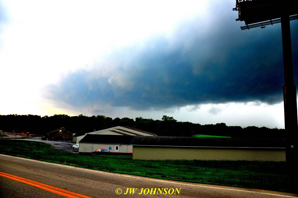
More Weatherscapes in June, July, and August 2019

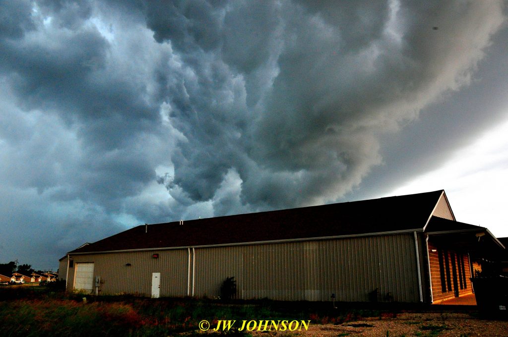
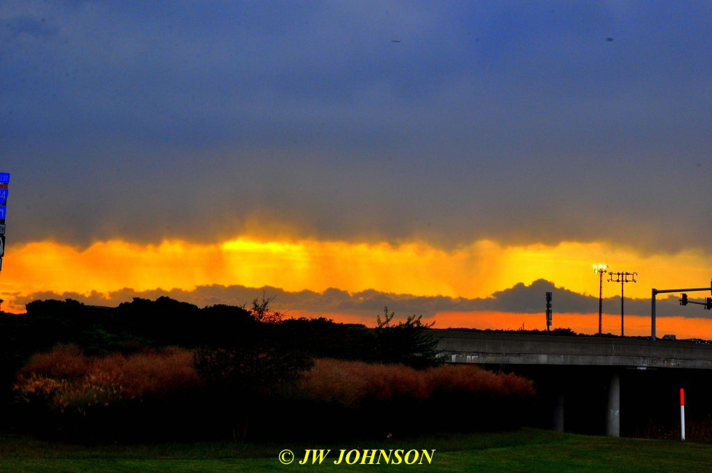
The very next day we had more reports of serious storms moving in our direction, this time from the north and northwest…usually storms that come to us from the north, do not pose much of a threat, but they can still be dramatic and scarey looking to some folks…

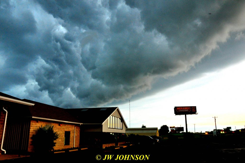
…this above photo shows the northwest side of the storm and the photos below shows the northeast and main body of the storm cloud, over Sullivan….

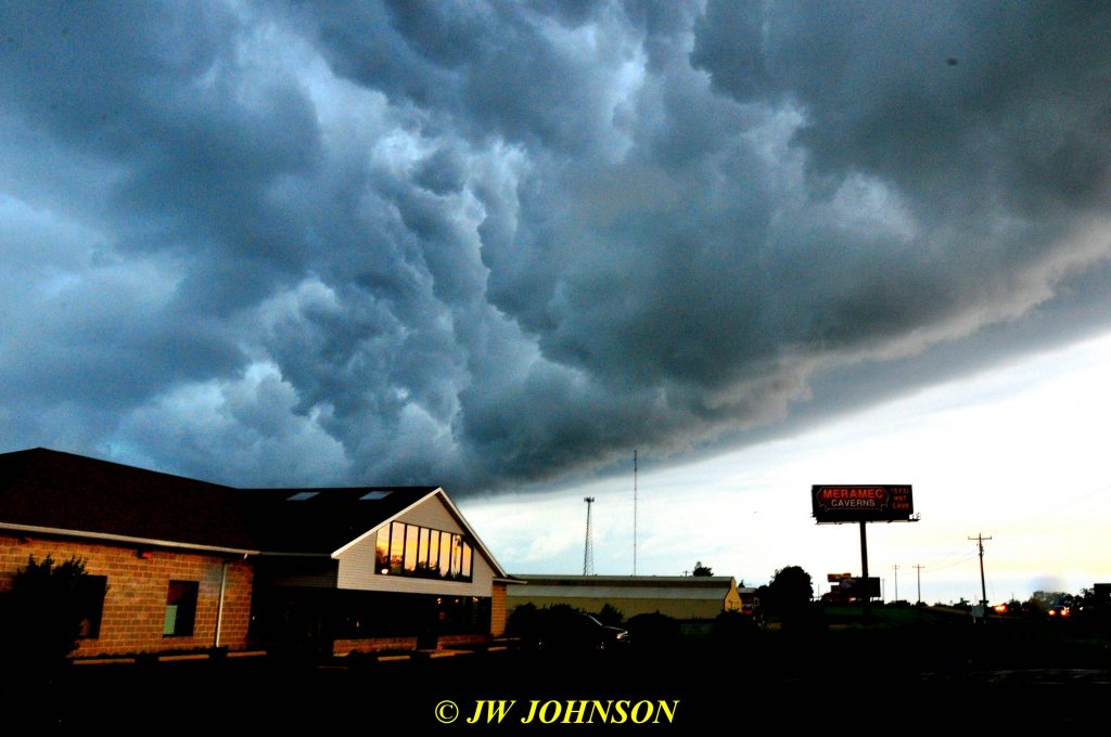
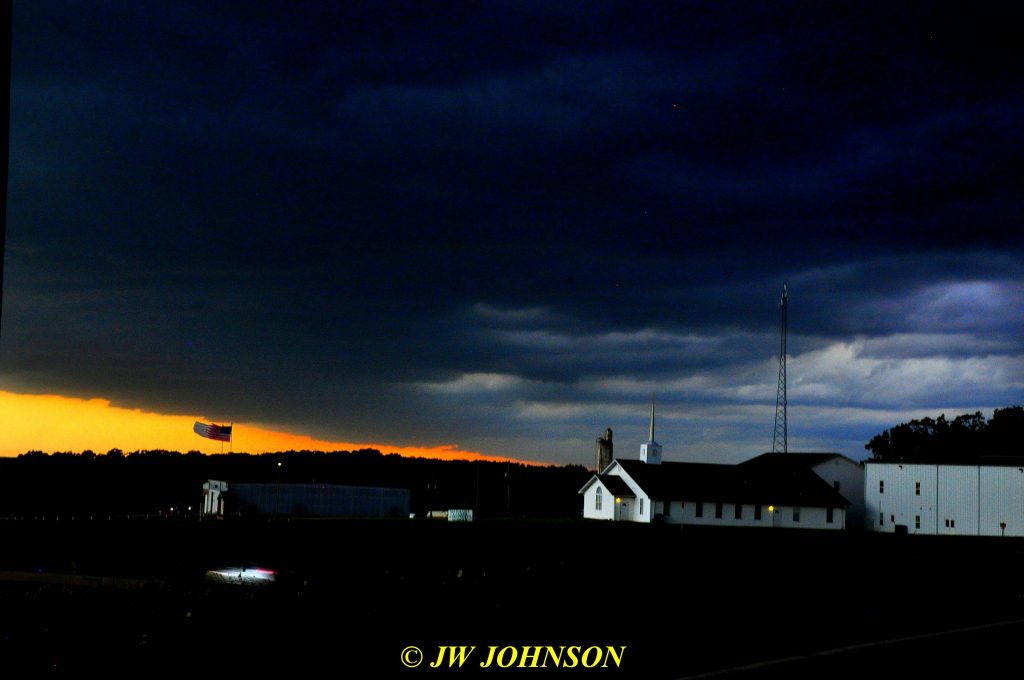
…and the next two photos show again, the northwest side of the storm…note the flags in the first photo, straining south due to the strong winds from the north….I had a few tree limbs down in my yard and street in front of my house, nothing major tho….

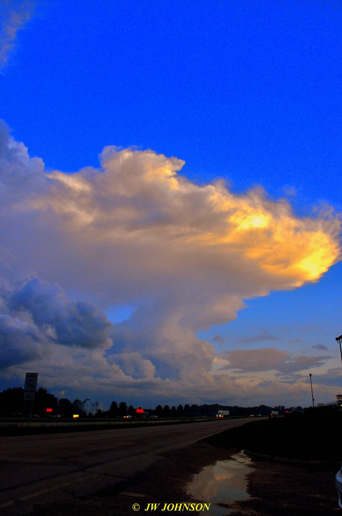
and then during the week of July 4th, during the day of our fireworks display in Sullivan, a pop up thunderstorm occurred that nearly ruined our popular display that is always well attended by hundreds of folks and this fireworks fan as well. Afterwards, a huge thunderhead was parked right over the city, and appeared to be parked over the top of the fairgrounds where the fireworks are launched from….

Luckily, the show did go on that evening, although they got a late start due to moisture from the storm earlier in the day, getting into the electrical launching system, that apparently was not detected til the fireworks personnel were preparing to launch the fireworks. It was the latest show I have attended and photographed. 

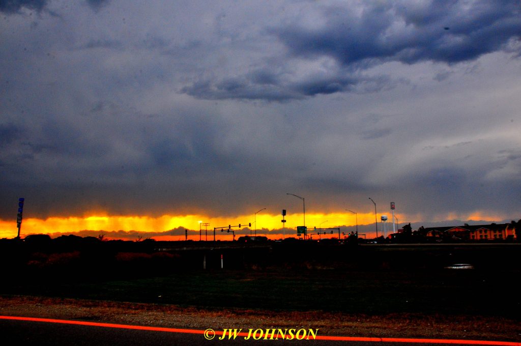
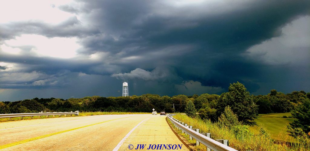
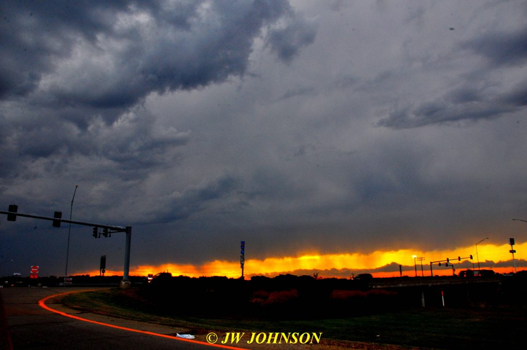
In the first week of August, another storm moved across Sullivan from north to south and actually activated into a serious storm after passing over my city…I photographed it from behind, on the Highway 185 bridge over the BNSF Railroad tracks as it continued to move south into Washington County….

We didn`t get any more really dramatic weather until the fall season rolled in about October….we did receive some hail storms that damaged roofs in our area this fall season as well, keeping roofing crews busy into the new year….

Dramatic Squall Line Storm on June 4th, 2019

I cannot remember what I was doing the evening of June 4th, but I heard the County dispatch a severe thunderstorm warning for a storm containing possible hail, dangerous lightning, and possible wind gusts up to 60 mph…so after notifying Mom to prepare for a storm approaching, I drove out to the FF Bridge over I-44 once again to film it. This one was much more serious looking, coming in dark and dramatic…this view to the northwest and over toward Mom`s house as well, but still to the north a bit…
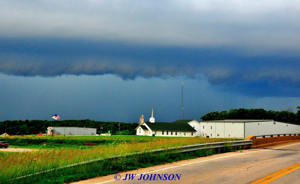
…and the central body of the storm over I-44 looking to the west….
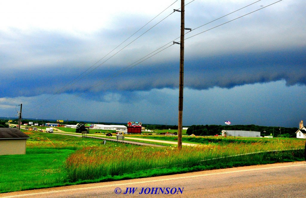
…and a minute later, the central body to the trailing southern edge poised over the town of Bourbon…..a Shelf Cloud starting to take visible shape….
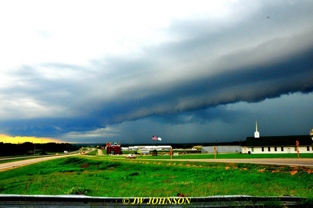
…the National Weather Service has this to say about Shelf Clouds…” A shelf cloud is a low-hanging, well-defined, wedge-shaped formation that occurs along the leading edge of a gust front in a thunderstorm. Shelf clouds most often form just ahead of intense lines of thunderstorms…”  A Gust Front means wind coming in, in front of the storm, with the Squall Line…
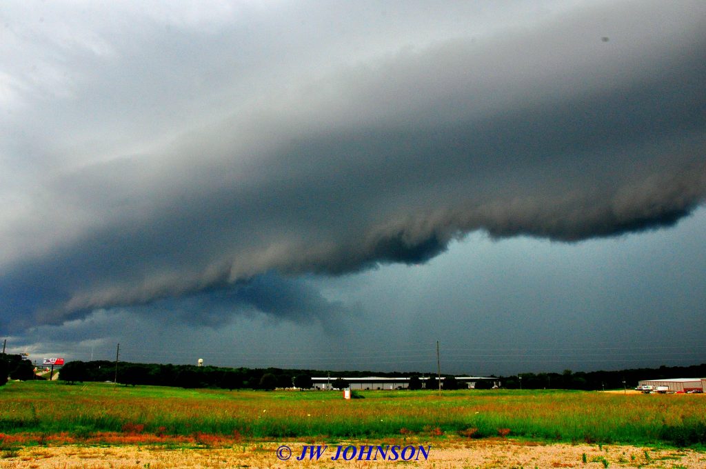
…from a photographer`s standpoint, these are some dramatic clouds to watch and capture on film, but you do have to stay aware of your surroundings, the wind can pick up and get quite gusty with them, gusty enough to move things, push things over, create hazards of arcing electrical wires, knock signs down…and the look of these clouds can change in a matter of minutes and even seconds when they start to move. The time difference between the photo above this paragraph and the next photo was one minute and you can tell that this squall line is not only forming up but moving as well…
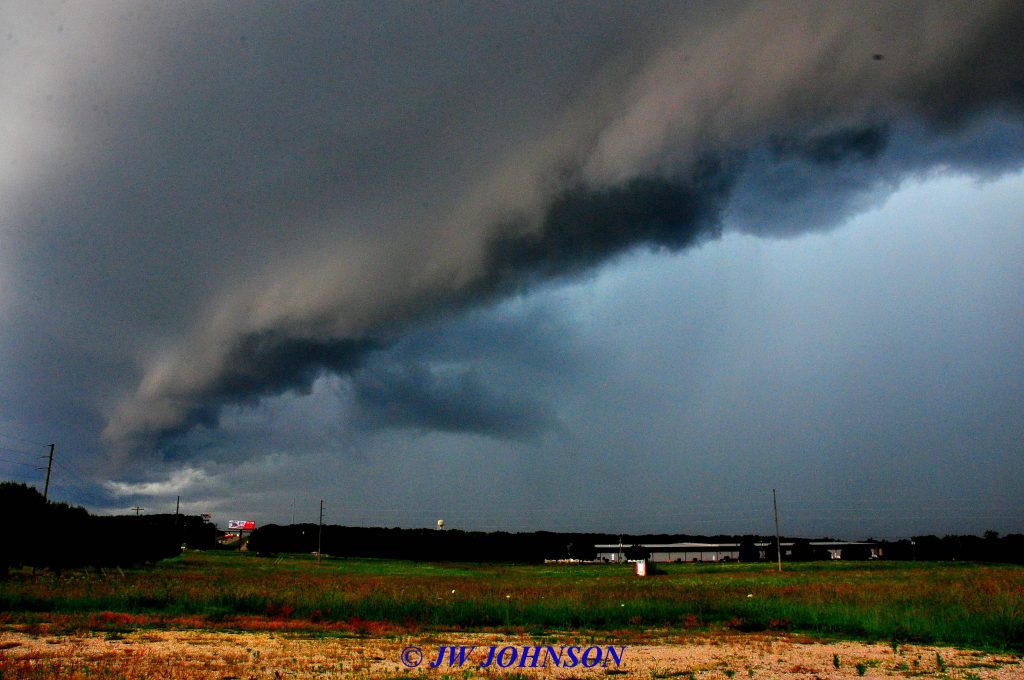
…I decided to drive back toward town in case the wind really picked up and this storm turned more serious, to be closer to home and my basement…I had also left Onyx at home this time and wanted to be able to get back quick if needed to get him sheltered…it did start moving but just in a dramatic way and I pulled into the business parking lot of Bill Little and drove over to the south end of his parking lot as it came in….
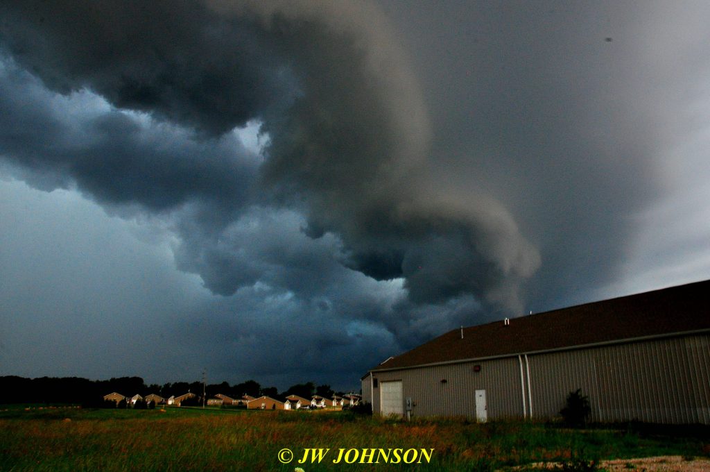
..right over the top of his building….he walked out to see what I was doing and was amazed as this storm approached and how it was forming up….
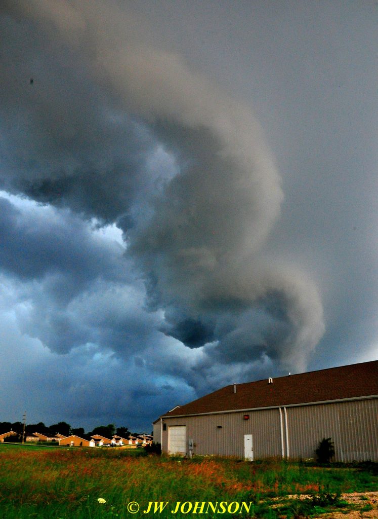
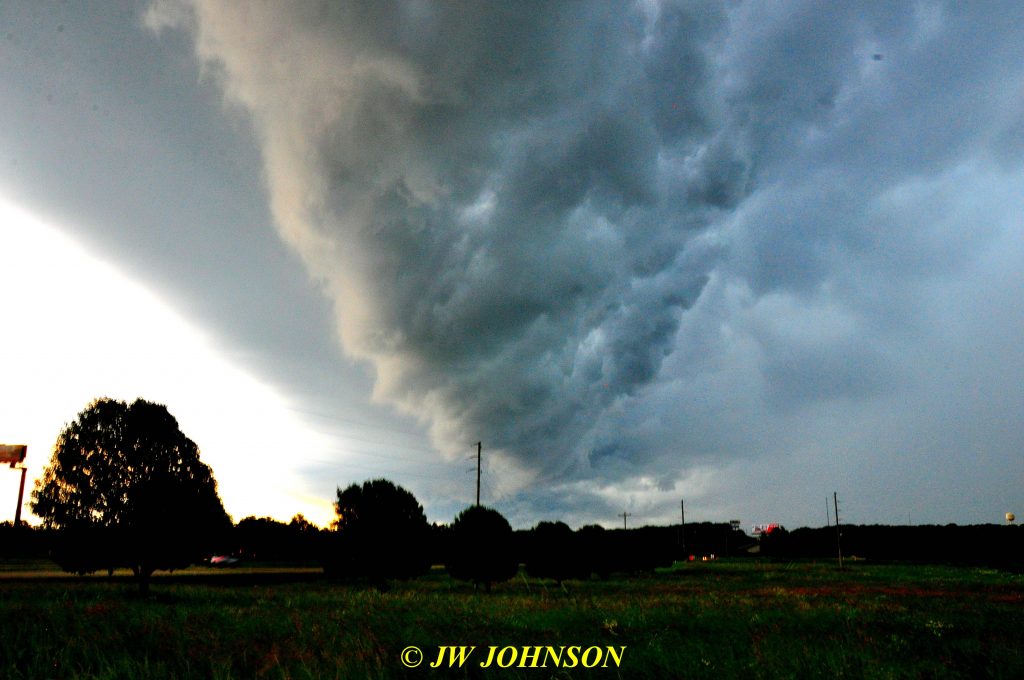
Bill called Jim Bartle to let him know this storm was on top of his place and Jim`s place too, as I shot some video of it….

Weatherscapes 2019-0604 Squall Line & Shelf Cloud Coming In Over Bill Littles Business

Weather never ceases to amaze me, it can be dramatic and beautiful even when scary and apprehensive. 🙂


Thunderstorms and Squall Lines in May 2019

Well we made it all the way to the latter part of May this year before we saw any wind, hail, and serious thunderstorms with lightning…luckily no tornadic activity nearby, but we all know that straight line winds can be just as damaging. On May 18th, 19th, and 21st, we had some thunderstorms come in with squall lines ahead of them…squall lines usually are accompanied by a front line of wind and wild looking clouds too…

…on the 18th, I drove up to the Sunny Jim Bottomley City Park near the ball diamonds and pool, where one has a commanding view of the skies to the northwest, great place to view and shoot sunsets too…saw the squall line coming in from the northwest and observed the clouds darkening down and the winds in the squall line…

Weatherscapes 2019-0518 Squall Lines Entering City from NW

A few days later, another ominous looking storm came in from the west this time…marching up I-44…heard Crawford County dispatch it as moving through the Cuba area with some wind observed and a threat of hail too…so I let my Mom know to batten down the hatches, and then Onyx and I drove out to the FF Bridge over 44 to watch and record it coming in from the west…

…that is the central part of the storm…more to the south a mile or so, and extending more to the north at least a few miles…moving to the east and going right up I-44 as reported…looking south from my position on the bridge over 44 toward the Meramac River…

…and about the time I spotted the extension clouds to the south darkening down, the wind picked up…and then it was reported a possible funnel cloud south of me a few miles…

…and within a few seconds, the southern extension clouds began moving at a pretty good clip toward Sullivan in the form of a squall line….

…while the clouds to the north began darkening down as well…

Weatherscapes 2019-0521 Squall Line From West With Wind

Luckily, this one passed through Sullivan with just a little bit of wind, lightning, and thunder, and nothing more, and then moved straight east across Saint Clair and into Jefferson County…I believe radar detected tornadic activity in the skies, but I don`t recall any reports of funnel clouds reaching the ground. A week later on June 4th, the squall line that came in was alot more dramatic to photograph and film. See the next story for that one.