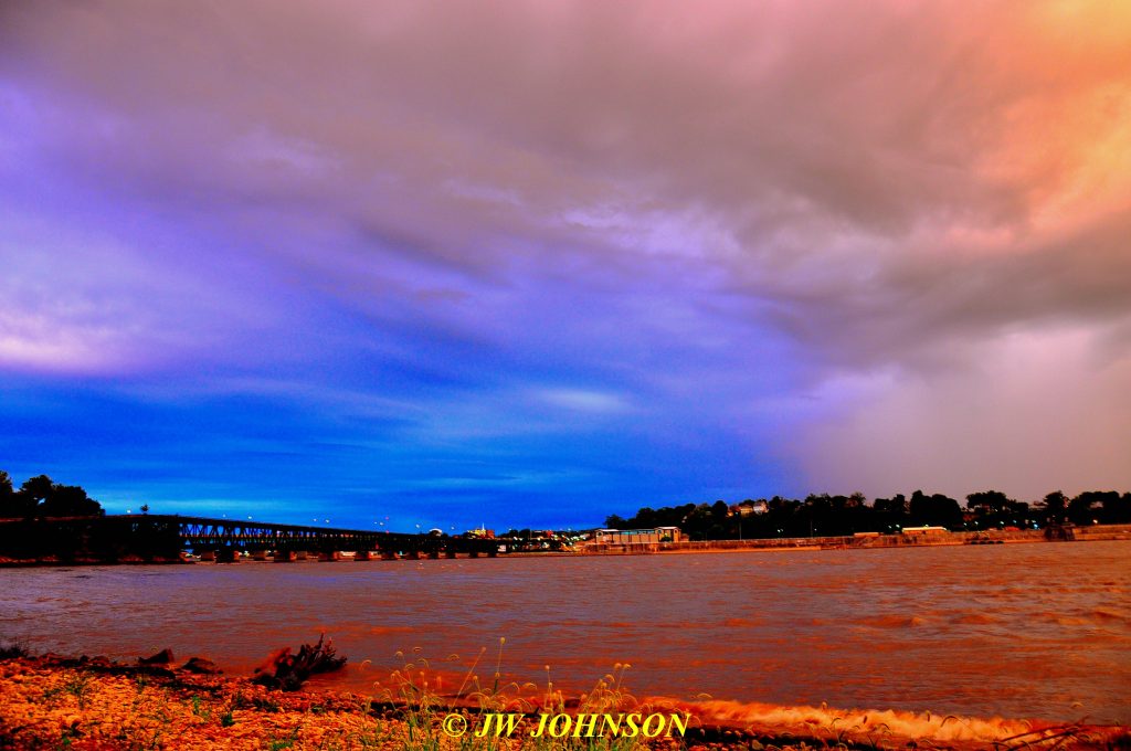
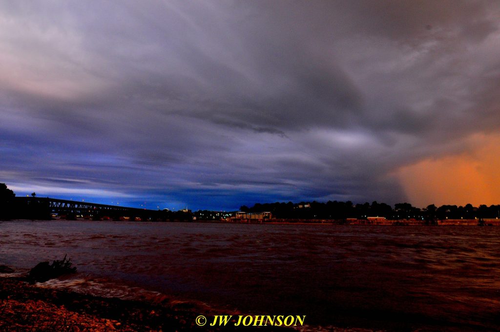
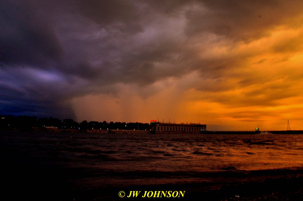
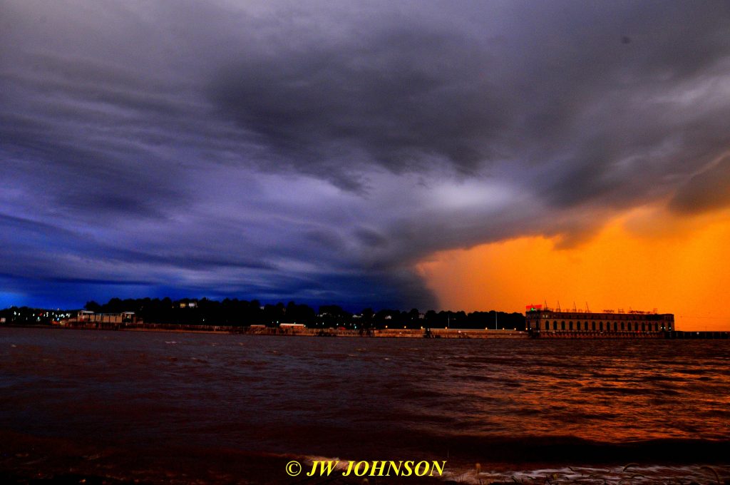
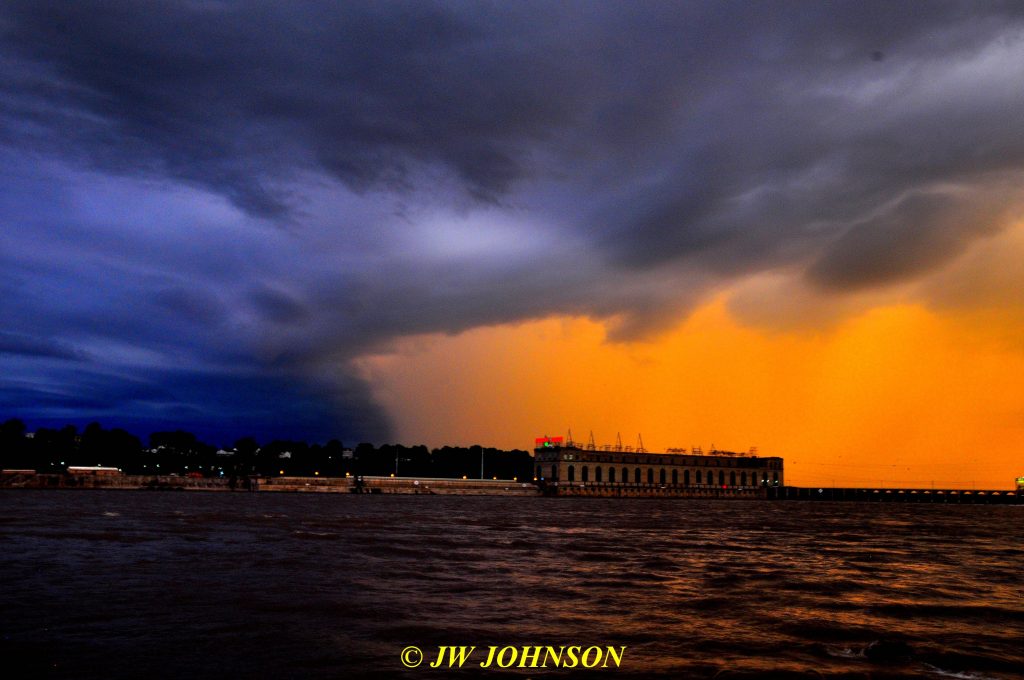
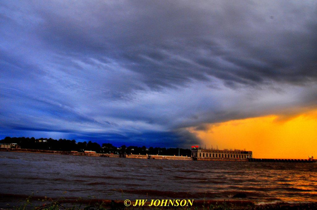
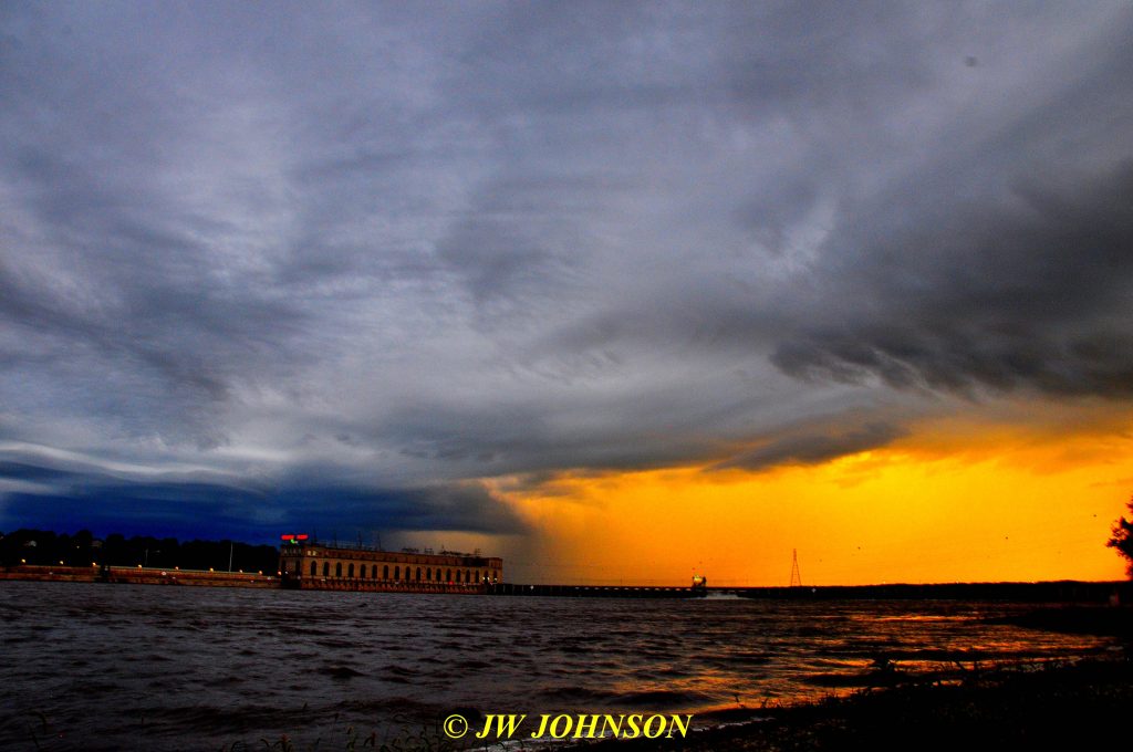
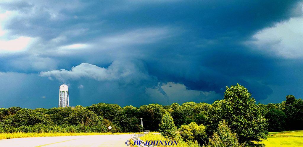
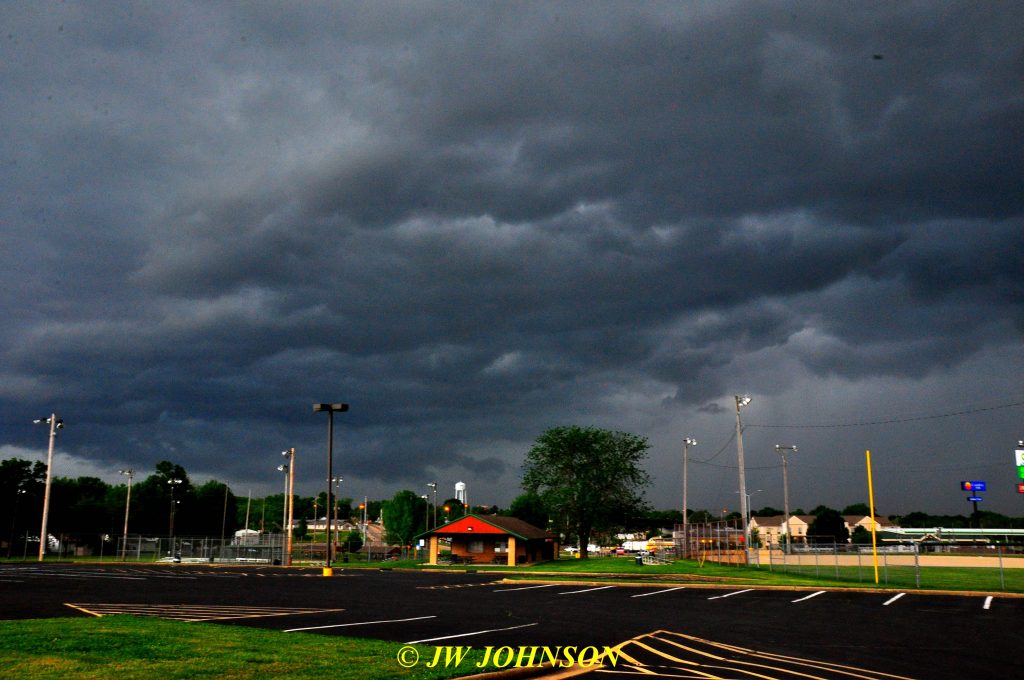
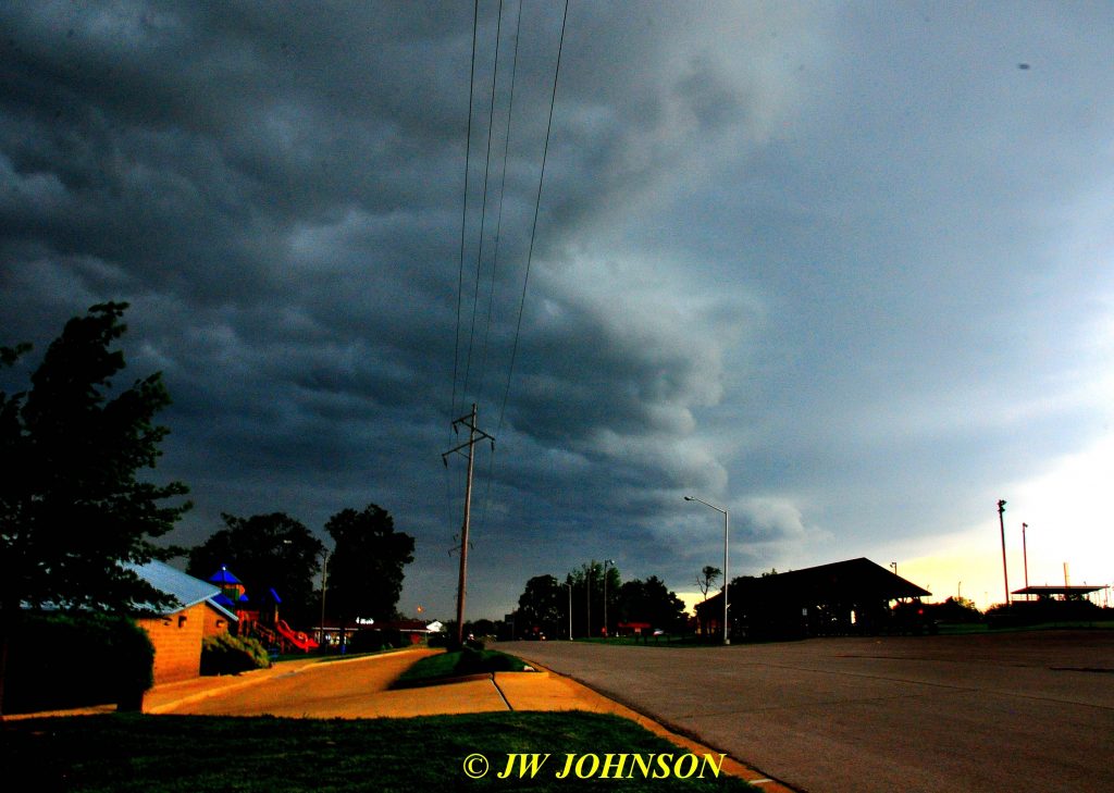
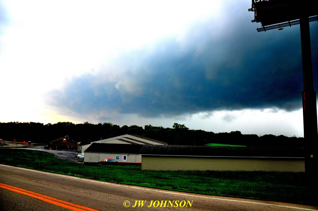
The majority of my trip to Geode Fest 2019 can be read and viewed on my other site, https://www.jwjrocks.com if you want to see what all went on up there this year. The one thing that really stood out this trip over the last few years, was the dramatic weather we had every day up there. Keokuk, Iowa, where Geode Fest originated due to the many geodes found within a 70 mile radius of Keokuk itself, and Hamilton, Illinois, where Geode Fest has been held for the past several years due to the present location, Chaney Creek Boat Access, being a much larger area to hold such a huge venue consisting of parking for many, vendor space, and access in and out of the parking area for rockhounds going to dig locations and returning from same. Somehow, that specific area up there wound up in a storm track that went on for about four days solid, storm after storm after storm…with heavy rain, severe lightning, hail at times, and a few radar detected tornadoes at night, no less. Definitely saw and photographed some impressive storms and rode out a few of those radar detected tornado storms with some apprehension. I drove up there a day early, mainly to visit with some good rockhound friends who were setting up as vendors at Chaney Creek Access, and took some druse quartz up to a mineral dealer friend of John O, who was interested in purchasing some good stuff…for the most part, that meeting went well with a few bumps explained in more detail in my story on my other website. On the first morning of the event, Friday morning, September 27th, I got up early and drove over to Chaney Creek Access to get signed in early before the main crowd arrived…on the way over there, however, it was obvious there was a huge storm brewing behind me so I pulled down to the Mississippi River boat ramp after crossing the river on the Hwy 136 bridge, which is just below the Lock and Dam…the boat access is just below the Lock and Dam as well and right across from the main Lock in the channel. This way I could shoot the storm and get the bridge and water reflections too…


 Geode Fest 2019 AVI 81 Fri Morning Storm Approaching From West
Geode Fest 2019 AVI 91 2nd Video of Approaching Storm Fri Morning


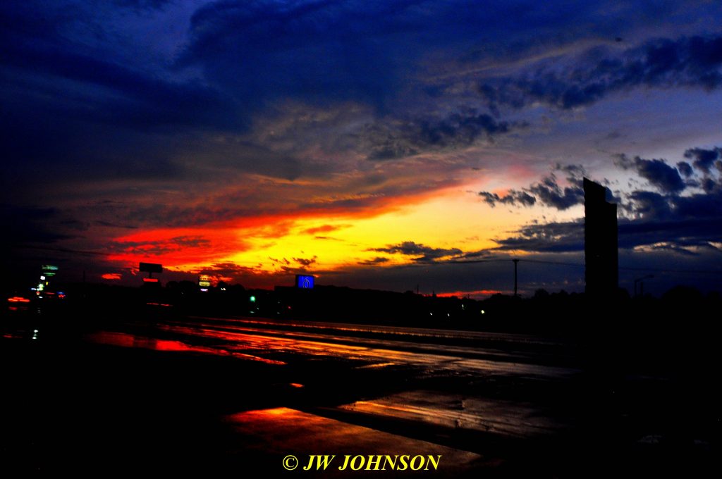
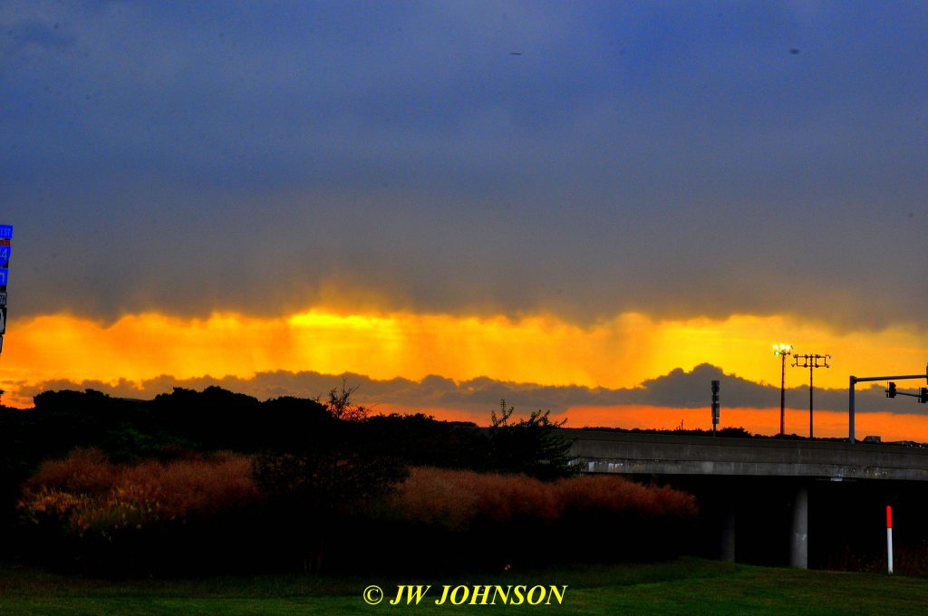
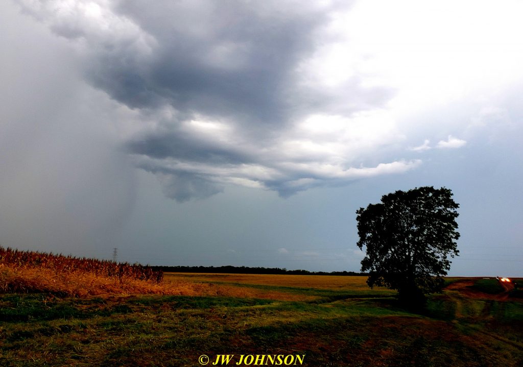
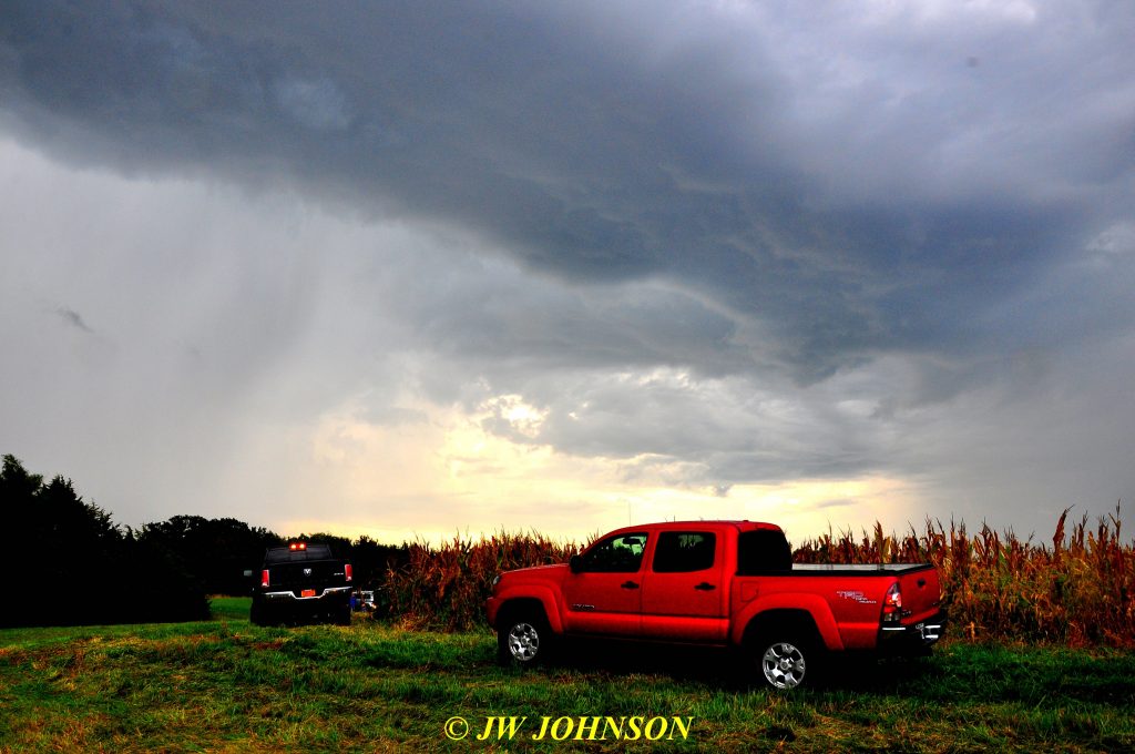
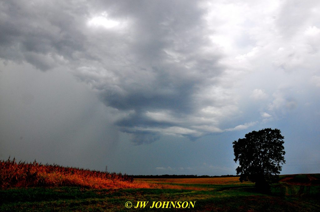
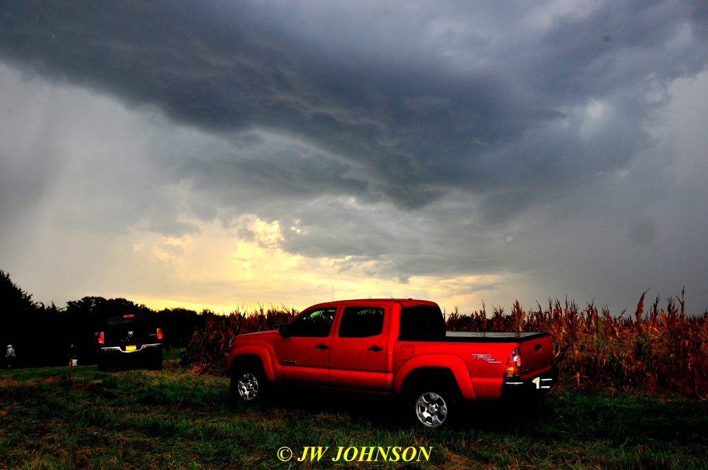
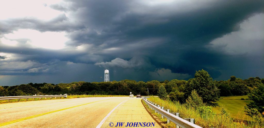
Very impressive storm to say the least, pretty even in some respects, the contrast between the deep yellow skies to the north and the deep blues of the storm to the southwest, and the lighter colors in between the two…at the very least, this one set the stage for the day for us rockhounds and got us somewhat prepared for what was ahead of us…more storms, many with serious lightning and some with hail…luckily I was able to dodge the hail storms. The next storm for me was the two that came right across the farm south of Hamilton and pounded down upon us with unbelievably heavy lightning soon after we got down to the bottom of the hill and in the creekwater…what a great place to be with lightning bolts zapping all over the place high above ya….


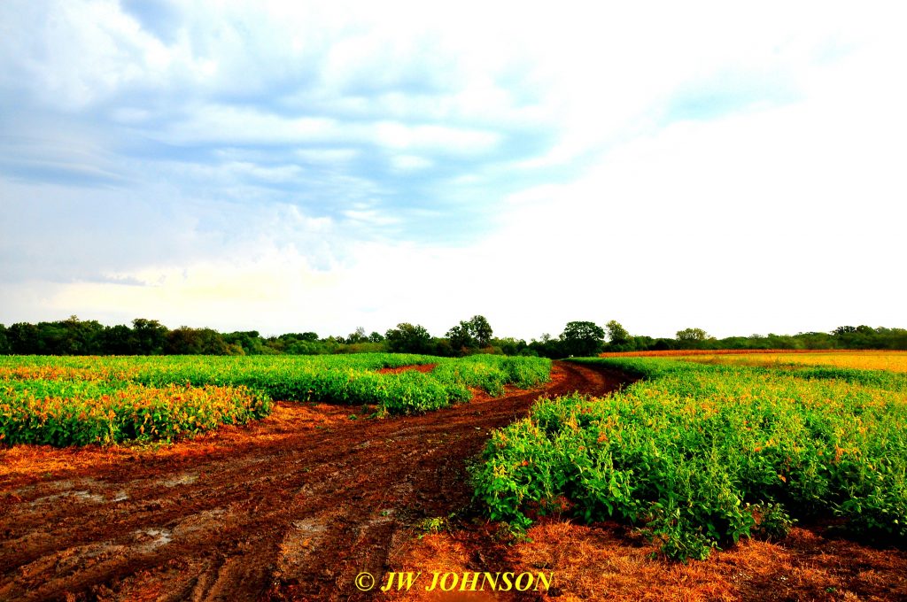
…most of us didn`t stick around there long, we def got out of the water since water and electricity are not a good combination. By that time I had two buckets full of geodes and I was happy and soaked, and like many others, I still had to get out of there thru a muddy soybean field…I wasn`t worried, as I have a great truck with four wheel drive and I did get out of there just fine…I was more worried for the farmer and his soybean fields than anything else…

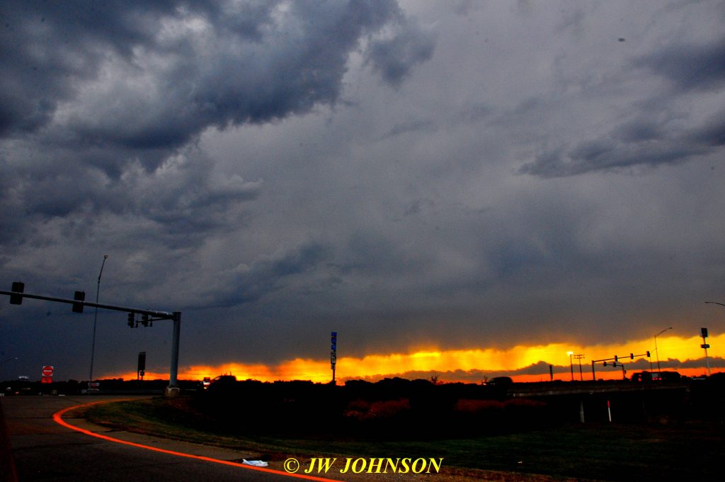
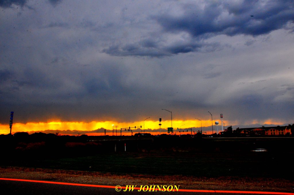
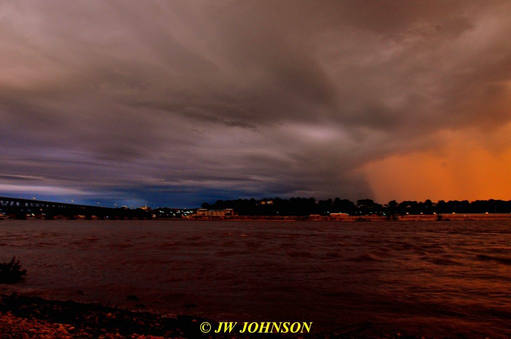
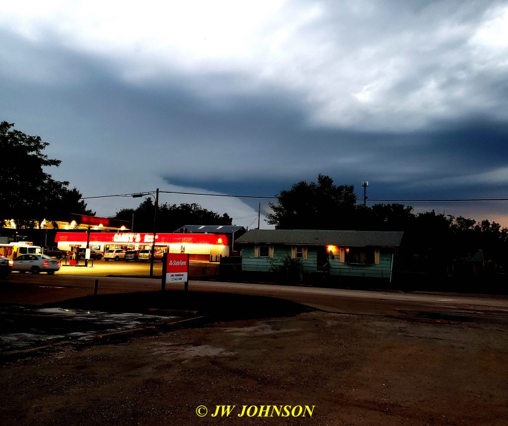
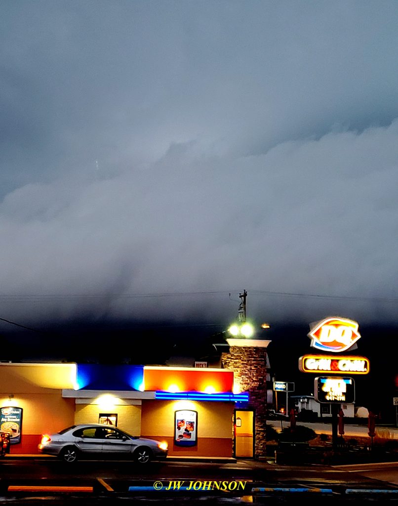
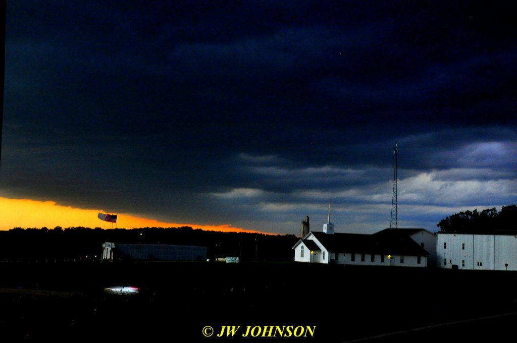
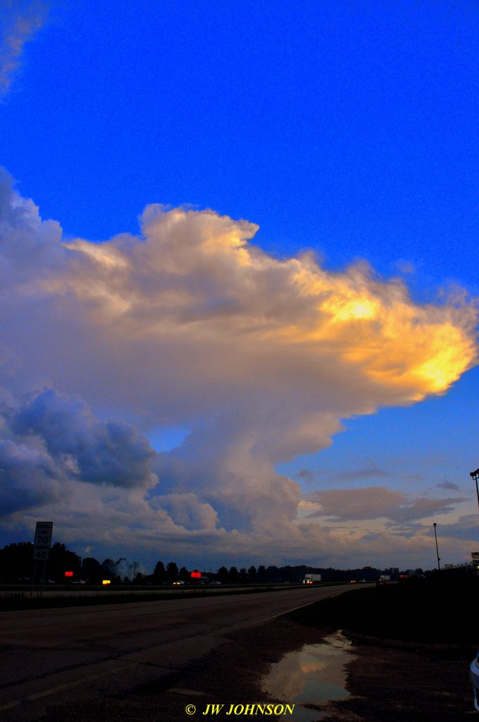
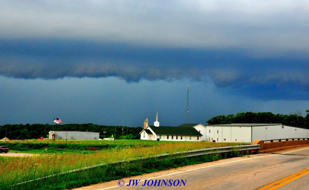
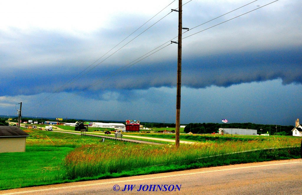
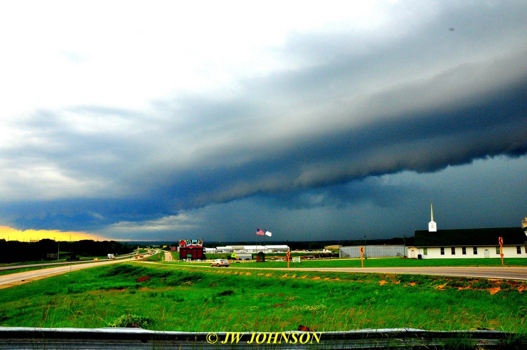
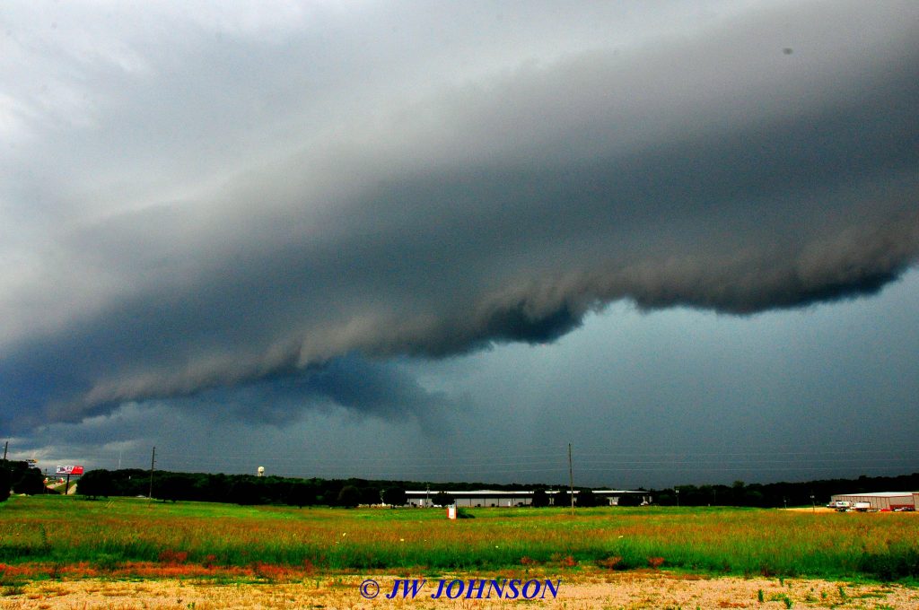
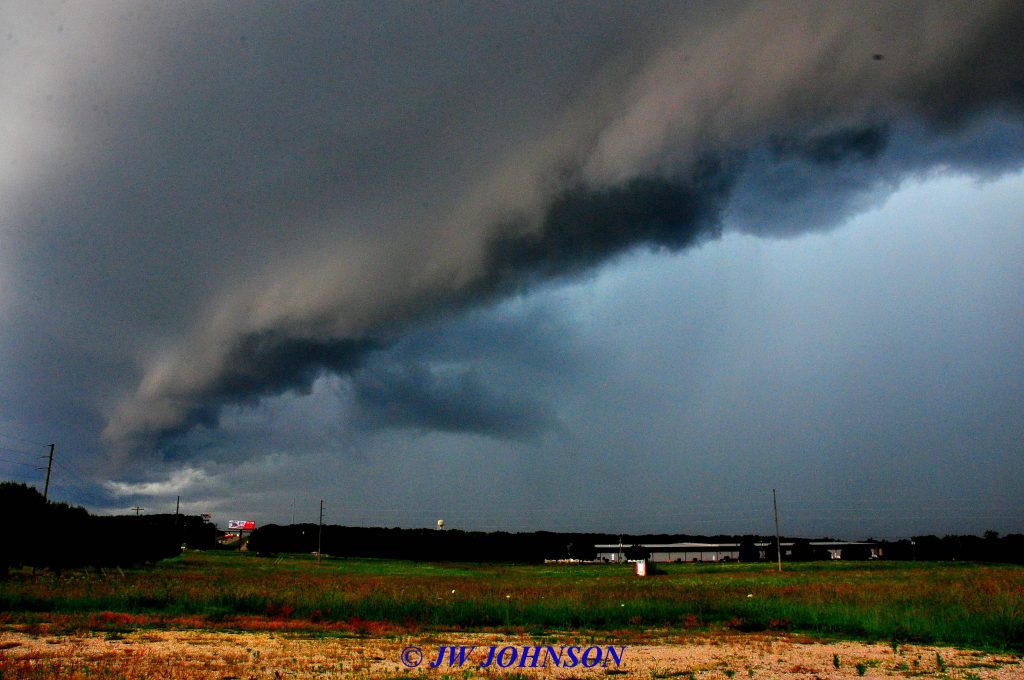
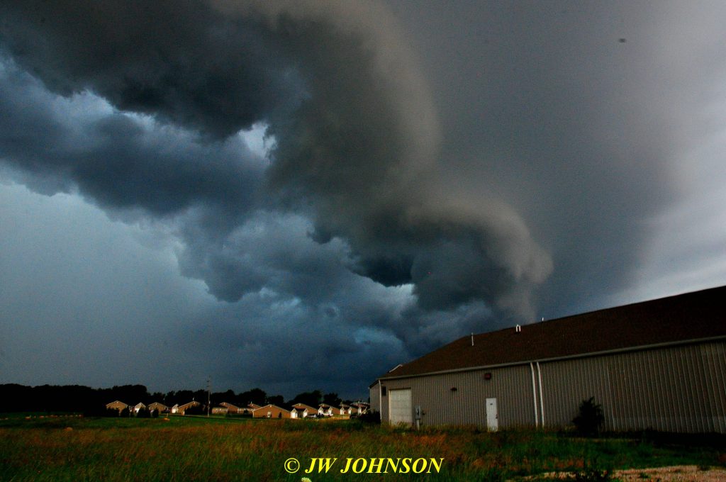
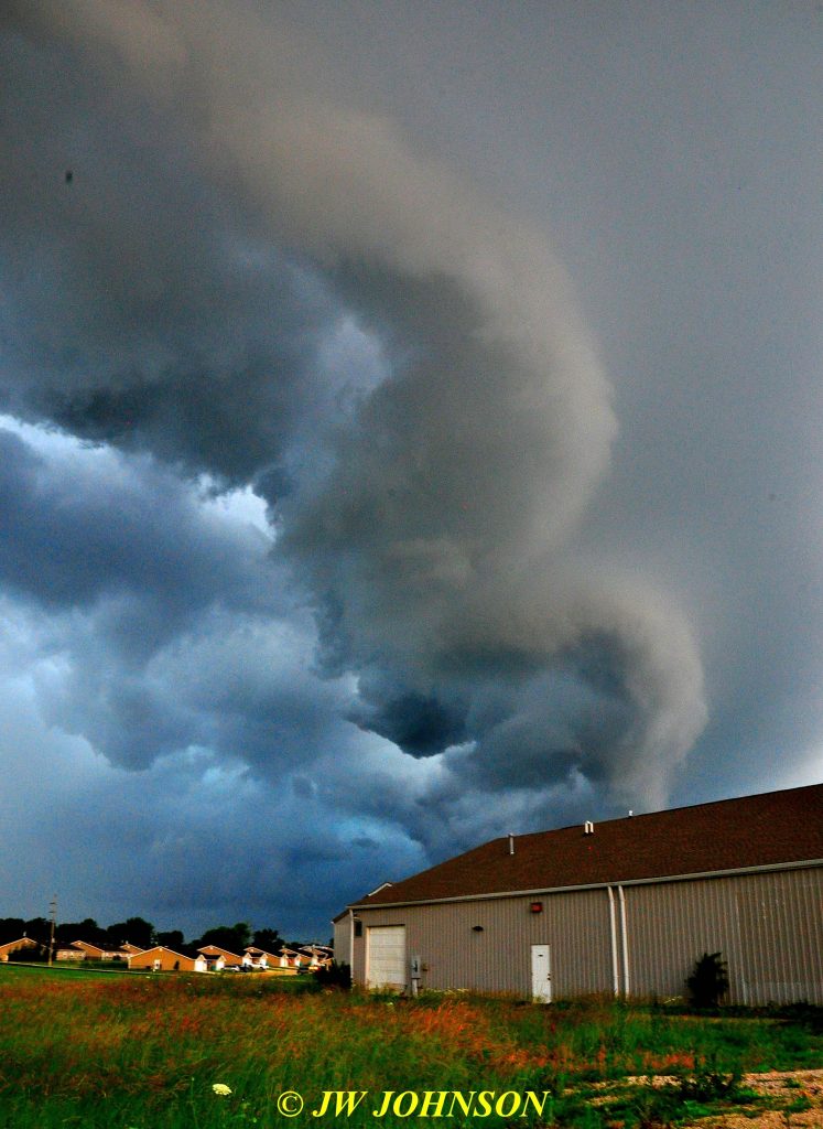
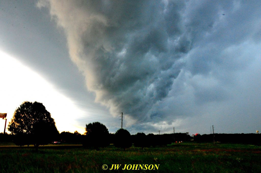
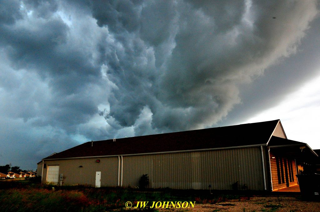
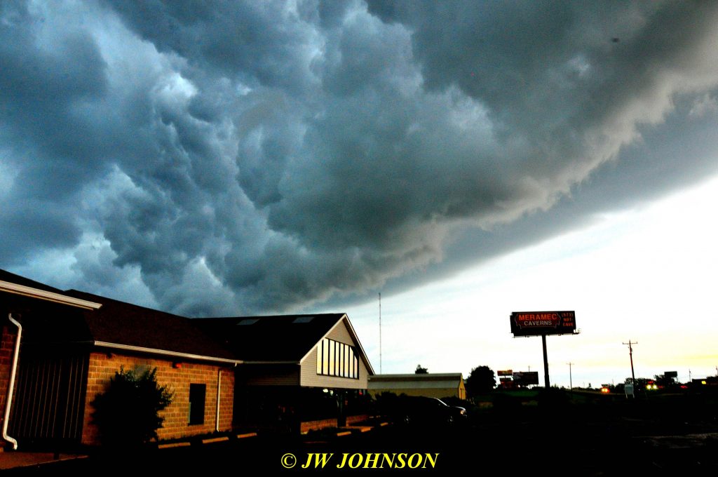
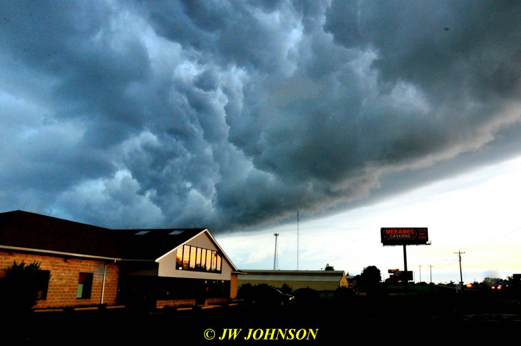
..it was storm city the rest of the day so I decided, once I went back to the hotel and got changed into dryer clothes, then drove to Walmart and replaced my wet and soggy boots, to spend the rest of the afternoon at Chaney Creek Access and simply visit with rockhound and vendor friends. It stormed and rained all day, so I was glad I decided not to go back out in that mess. My buddy, Chuck Reed, drove up that afternoon from St Louis County, to join the fun and later that evening, all of us friends decided to drive up the hill to Hamilton to the Hamilton Diner. Right before we left, we heard the tornado warning sirens sounding across the river in Keokuk, and alerts were hitting our cellphones right and left, advising of radar detected tornadoes in storms approaching from the Kirksville area…that storm track I was talking about earlier. On our arrival at the Diner, everyone went inside but me…I grabbed my camera and started shooting the storm clouds out in the parking lot, between the Diner and Dairy Queen next door. A local firefighter, who is also a rockhound, was just leaving the diner with his family, they stopped and began shooting it as well and then talked about going down to Chaney Creek Access Parking Lot as it would provide better shelter in the valley from the storm, he said. Here is how the clouds looked in the direction of Chaney Creek to the north…

…what happened was a huge shelf cloud formed up and stretched across Hamilton for about half a mile…dramatic, neat, and scarey all rolled into one…

Geode Fest 2019 AVI 137 Sat Evening Storm Coming In With Tornado Warning
As you can imagine, it rained all night long, 9 inches of rain recorded by the local authorities and so the next morning, the organizers of Geode Fest called off all morning digs and decided they would make a decison by 11 am for the afternoon digs. There are three dig locations on the Fox River just west and northwest of Keokuk, all three are located on Amish Farms, and the Amish folks up there are some of the nicest folks you would ever meet, since finding out about Geode Fest and geode lovin rockhounds in general, they have become quite a fixture at Geode Fest each year. They don`t sit back and do nothing while geode hunters collect geodes from the river and its banks, either, they pitch in to help the rockhounds all the time. Many of the Amish men will hook up their farm draft horses to wagons and haul buckets full of geodes to the vehicles of rockhounds, or to the parking lot, which is a tremendous help to rockhounds as those geodes are big and heavy or even a bucket full of small ones can add up, weight wise, pretty quickly, and navigating those river banks and river waters with a current, can wear one out pretty quickly. The Amish womenfolk stay busy too, many of them are excellent bakers of fine food, some of them setting up baked goods sales tents in the parking lots at their farms and they usually have home made ice cream for sale, too. I speak from personal experience when I say how good of bakers they are. 🙂
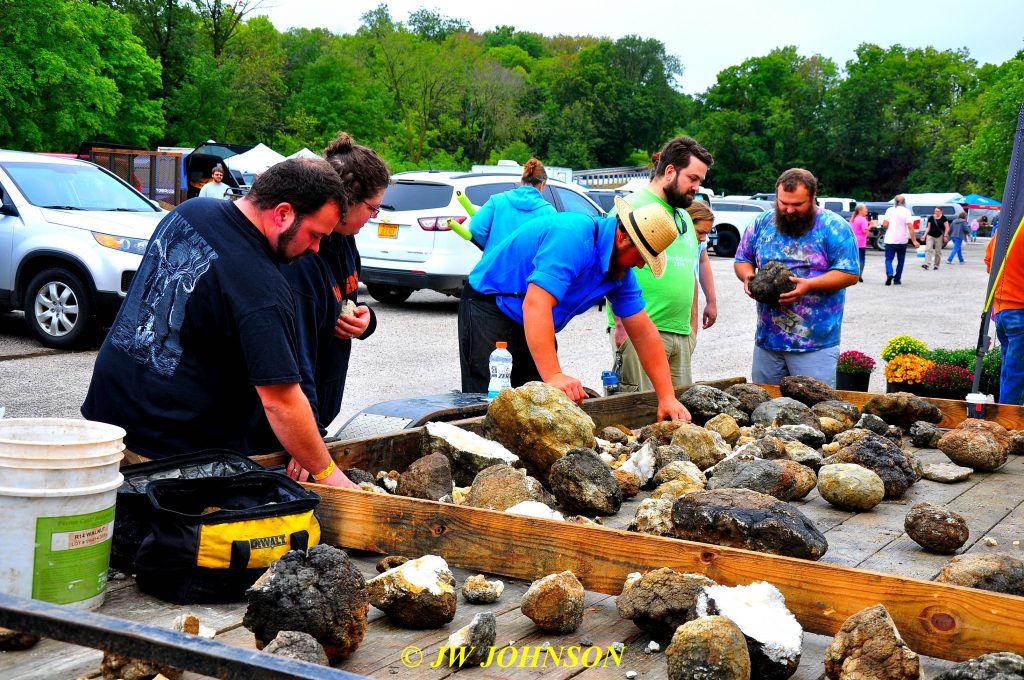
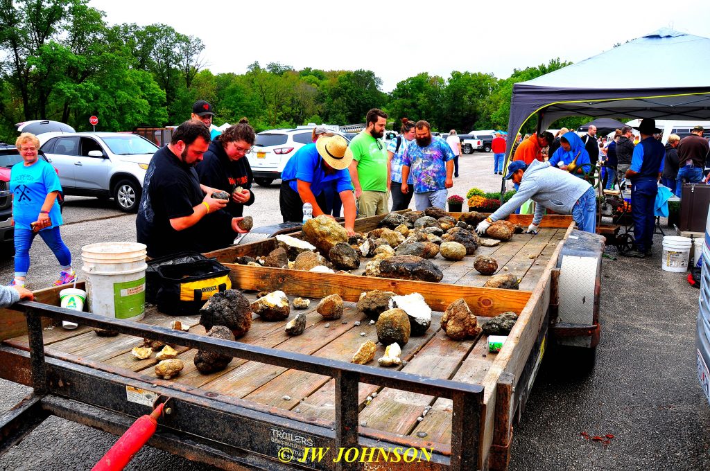
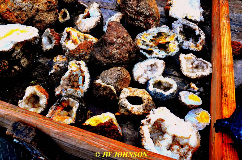
This year, when the waters of the Fox River rose up bank full on Saturday morning, after 9 inches of rainfall Friday night, eliminating hunts at those three Amish Farms, the Amish folks kicked into high gear, bringing large geodes in trailers and their baked goods, to the parking lot at Chaney Creek Access. Pictured below in the straw hat and pretty blue shirt, is Amos, one of the farmowners, he brought the trailer full of geodes in on Saturday morning, after helping the womenfolk set up their baked goods tent early that morning….


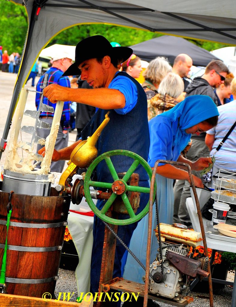
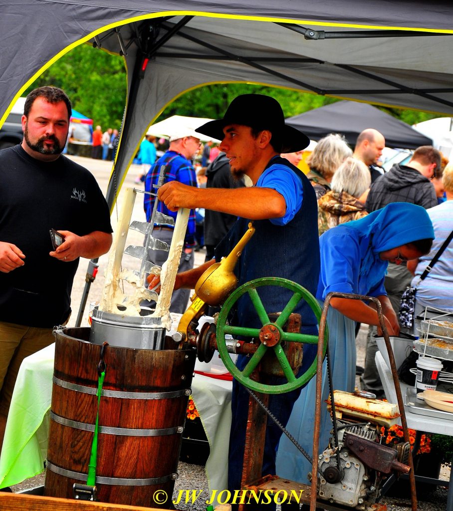
They even brought a huge five gallon bucket of home made ice cream to sell to ice cream fans and when they ran out, they made up even more right there on the spot. Very nice folks, I have met a few in past years and met even more of them this time around. Pictured below is Amos` little brother, working the ice cream tent with his wife….


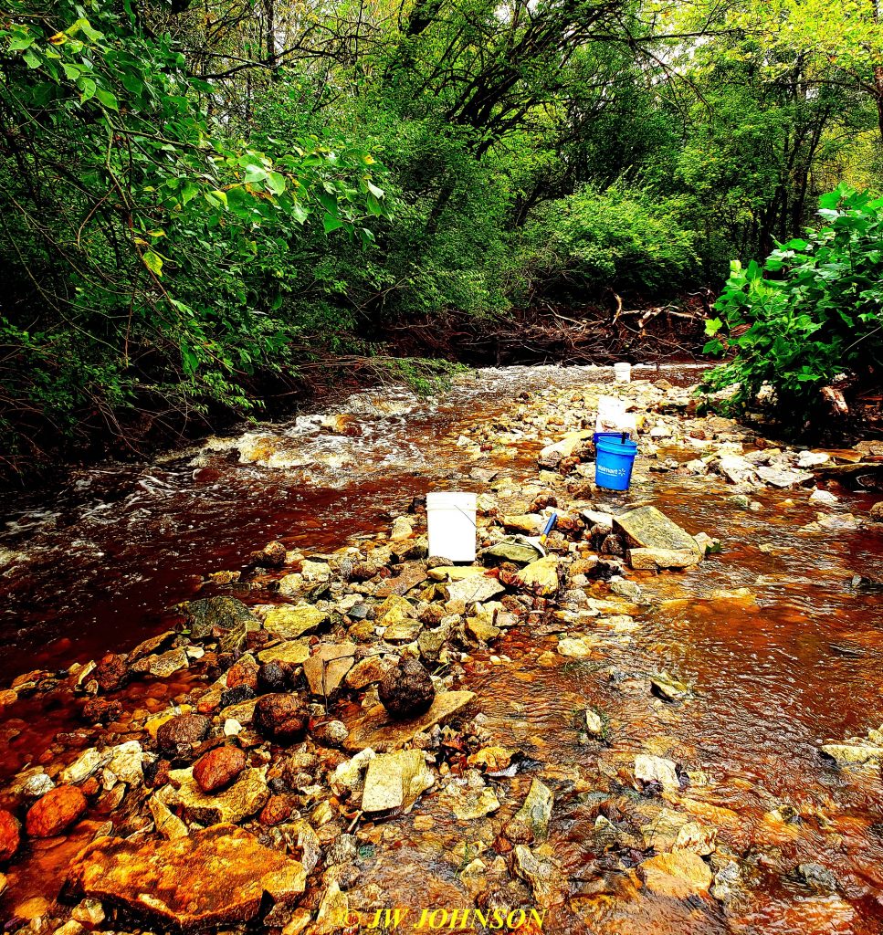
Saturday afternoon digs, they decided, would go on and should be fine, the weather report looked like a break was coming our way so they allowed hunters to go hunting at one of three locations…John, Chuck, and I decided to go out to the newest location, a farm that John had scouted last year at the request of the farm owner, who we met last year as well. Same creek as the day before, but well known for snowball type geodes…water there had been above bank full that morning, but by the time we arrived, it was down a good ways, but with a strong current. I had better boots by this time and my footing was much more stable with them…this is a photo of Railroad Creek there, showing the strong current and geodes laying everywhere…

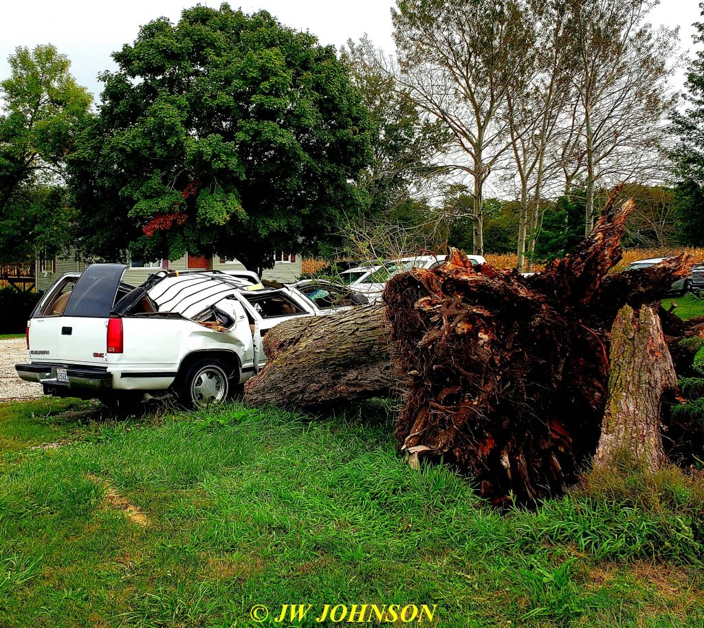
We did quite well in the afternoon and the weather returned that evening, but not with a vengence…luckily we didn`t have any problems like this….

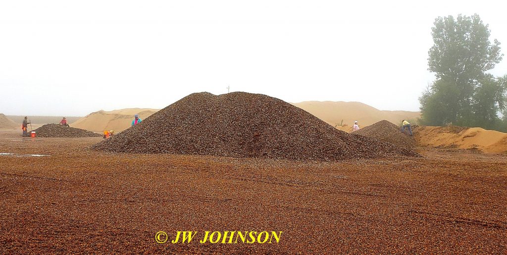
…a tornado that occurred earlier in the springtime and totalled out this surburban, which was not insured at the time, due to its age. The next morning, some of us drove over to Wayland and went agate hunting at a gravel plant there, with friends in the Central Iowa Mineral Cub…it was a bit foggy, but otherwise not a bad day…

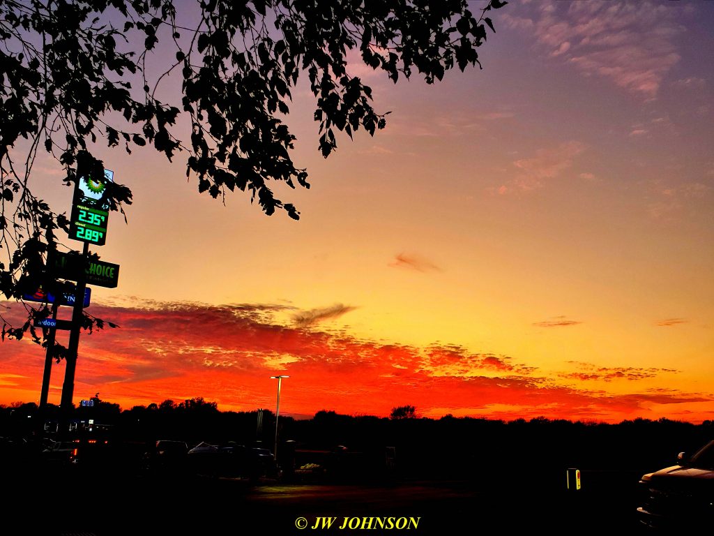
Chuck and I returned to our homes that afternoon and the entire area remained in that foggy / rainy cloud cover all day…when I finally emerged from it, back into blue skies and sunshine just north of Hannibal, it felt like I was leaving a totally different world and returning to normal…I was soooo glad to see blue skies once again and later that evening at Cracker Barrel for supper in Sullivan, a beautiful sunset in the western skies….

WOW, what a weekend that was !!
